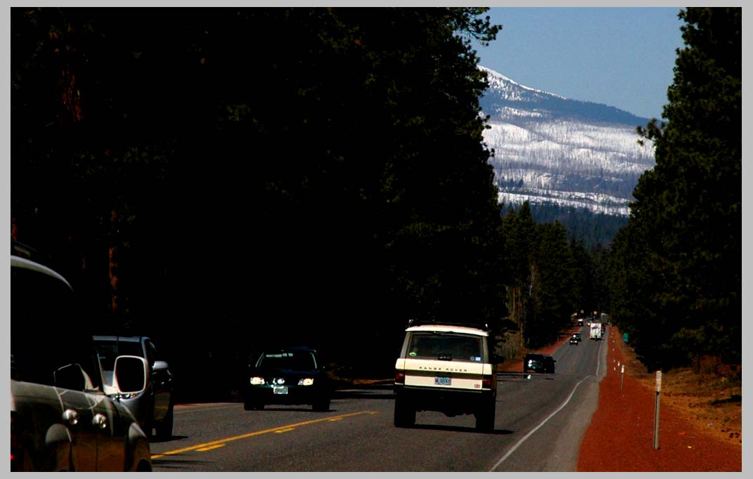
Highway of Denial, near Camp Sherman, along the Metolius River. A partial
swath of the B & B Burn is visible top right. Hwy. 20, heading West over
the Santiam Pass. Central Cascades . . .
On the road in the American Northwest.

Highway of Denial, near Camp Sherman, along the Metolius River. A partial
swath of the B & B Burn is visible top right. Hwy. 20, heading West over
the Santiam Pass. Central Cascades . . .
On the road in the American Northwest.